County Environmental Health Act (CEHA)
A Word About the County
Environmental Health Act (CEHA)
Administered by the
Bureau of Local
Environmental Management
Each day, the Department of Environmental Protection's (DEP)
environmental control efforts are supported through partnerships
with county health agencies. This partnership was formalized
in 1978 by the State Legislature through passage of landmark
legislation called the County Environmental Health Act (CEHA).
The Legislature recognized that many environmental issues
are regional in nature and
county
health departments are among the most efficient health
units in the State. This Act authorized the Department to
certify local health agencies to essentially "stand
in our shoes" in administering delegated environmental
programs. Since that time, local health officials have enforced
state environmental laws and enhanced our pollution control
efforts in a number of significant ways. More importantly,
these health county agencies represent our vital link to
communities, since they serve as the "frontline" in responding to local environmental problems.
The
Department has delegated the administration of core pollution
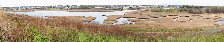
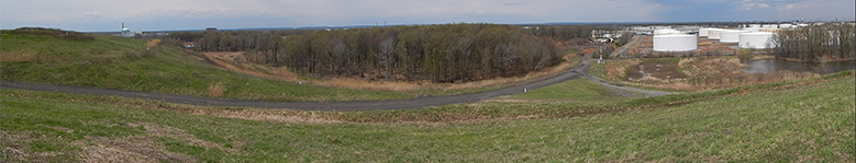
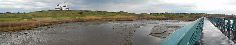
control programs in the areas of water, air, noise, solid
waste and emergency response to county health agencies.
In addition, many health agencies have become involved
in pesticides control, regulated underground storage tank
inspections, coastal cooperative
monitoring and ambient surface water monitoring. All of these
activities greatly enhance the array of environmental
health services provided to New Jersey residents and businesses.
To help support these delegated programs,
DEP awards an annual grant to each county health agency.
For over 20 years, these grants have also provided valuable
seed money to help counties establish geographic information
systems and upgrade computer systems. Monies are provided
through the execution of contracts administered by the
Bureau of Local Environmental Management (BLEM) within
the Compliance and Enforcement Program.