Map Information:
|
Map Title: |
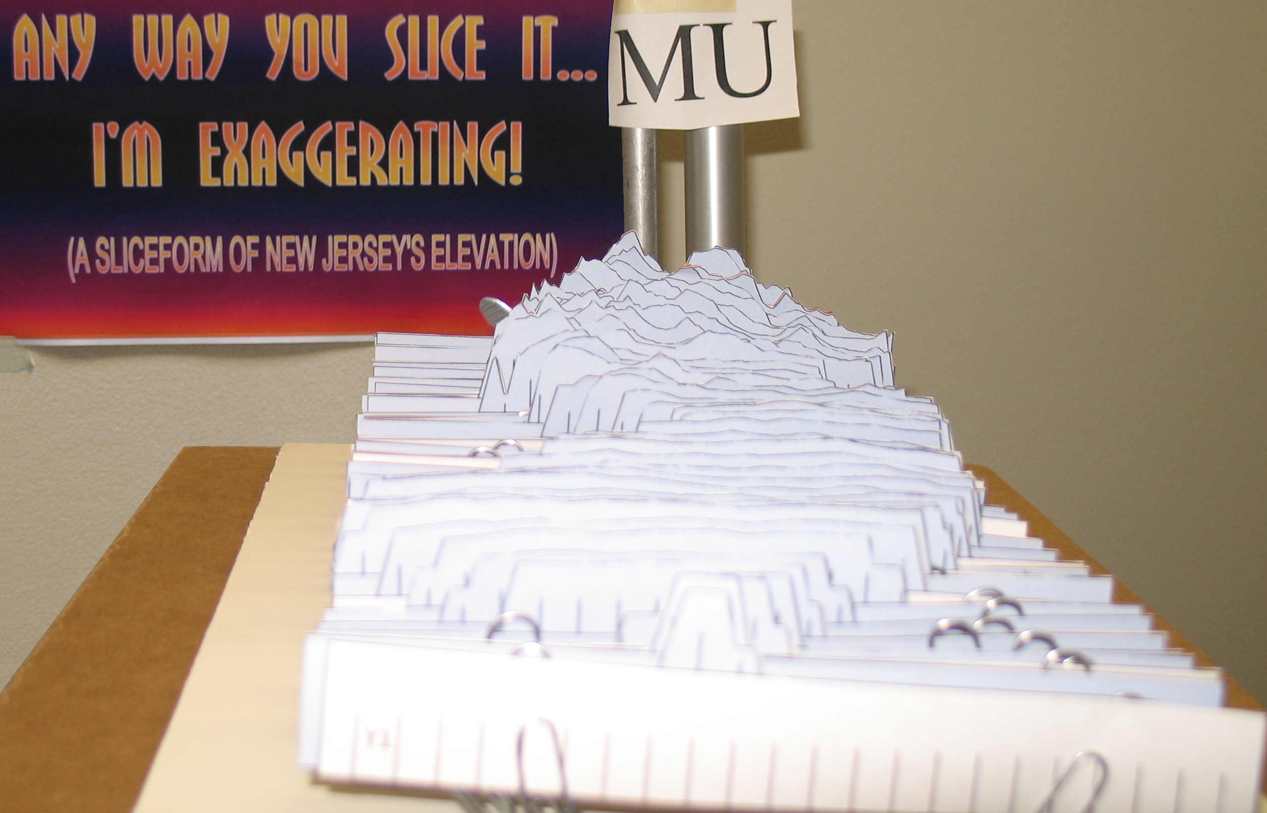
Any way you slice it, I'm exaggerating (A sliceform of New Jersey's elevation) |
|
Name(s) of Author(s): |
Leigh Lager |
|
Organization: |
NJDEP Freshwater & Biological Monitoring |
|
Email Address: |
Leigh.Lager@dep.state.nj.us |
|
Software Used to Make Map: |
ArcMap10, Google Sketchup8 |
|
Data Sources: |
NJDEP 10m DEM |
|
Map Description: |
"Any way you slice it.....I'm exaggerating" is a sliceform depicting New Jersey's elevation. Points were taken from our DEM, turned into XYZ coordinates, exaggerated in excel, imported into sketchup via a point cloud (csv format), turned into a 3d model, sliced via the SliceModeler plugin, laid flat, printed, and finally cut out by hand and mounted on foam core. The result is a nifty cardboard depiction of our state's varied terrain. |