Map Information:
|
Map Title: |
Child Care and Educational Resources |
|
Name(s) of Author(s): |
Merrilee Torres |
|
Organization: |
County of Burlington, IT Department, GIS Section |
|
Email Address: |
mtorres@co.burlington.nj.us |
|
Software Used to Make Map: |
ArcGIS 9.3.1 |
|
Data Sources: |
State of NJ, OIT, OGIS – county & municipal boundaries; Burlington County – schools & child care locations |
|
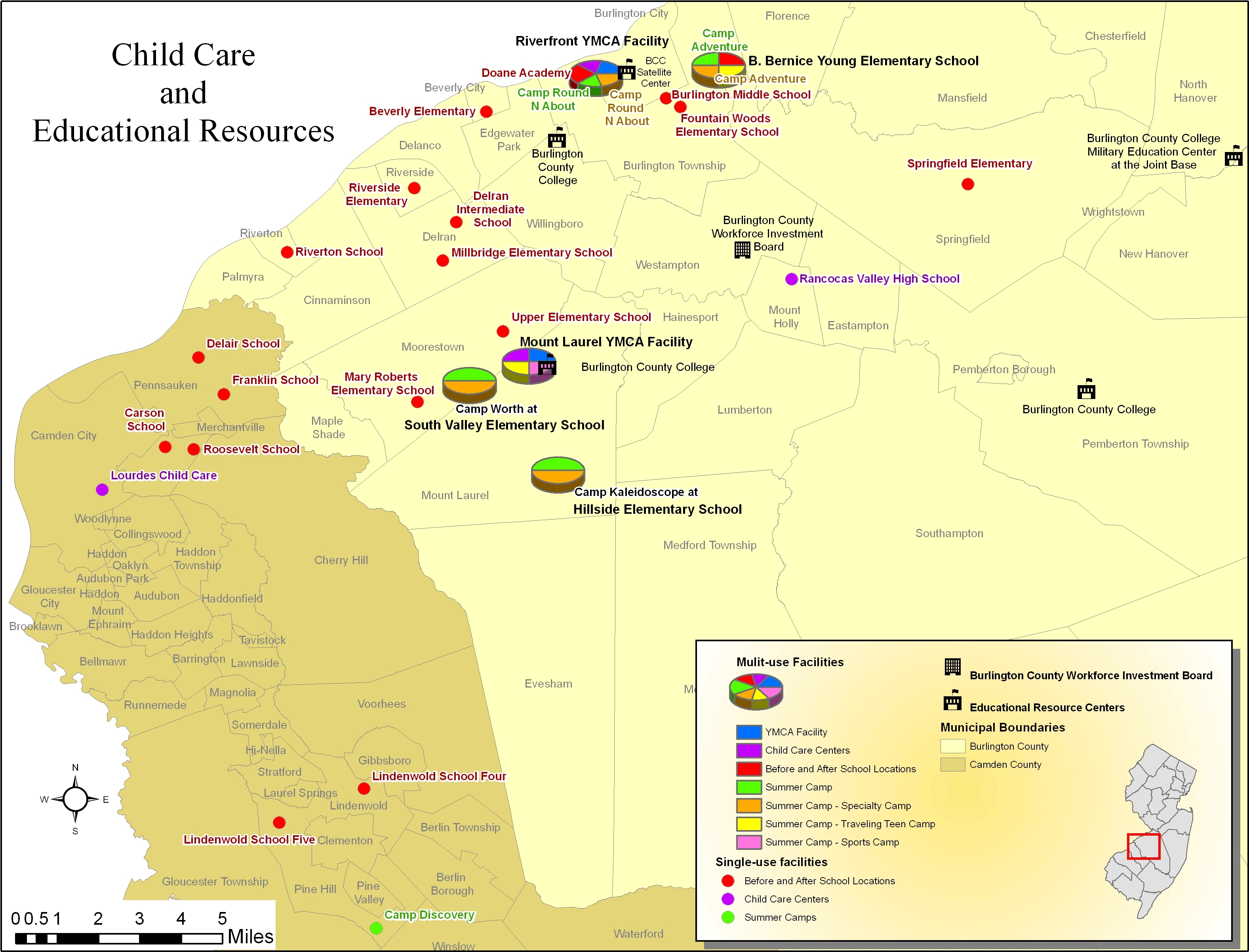
Map Description: |
This map was created to support a grant proposal. The purpose was to show the proximity of educational facilities to child care resources for women attending job training. The challenge was to show which of 7 types of child care are available at each facility. Facilities offered between 1 and 5 different types at their location. To solve this, a color was assigned to each type of child care. Facilities offering only 1 type were represented as a single color-coded circle whereas those with multiples were represented by a 3-D pie chart identifying the different child care types available at that location. |