Map Information:
|
Map Title: |
Railroads of Southern New Jersey |
|
Name(s) of Author(s): |
Matthew Kemner |
|
Organization: |
Rowan University |
|
Email Address: |
krashkemner@yahoo.com |
|
Software Used to Make Map: |
ArcGIS, Adobe Illustrator |
|
Data Sources: |
NJ OIT, i.c.c. |
|
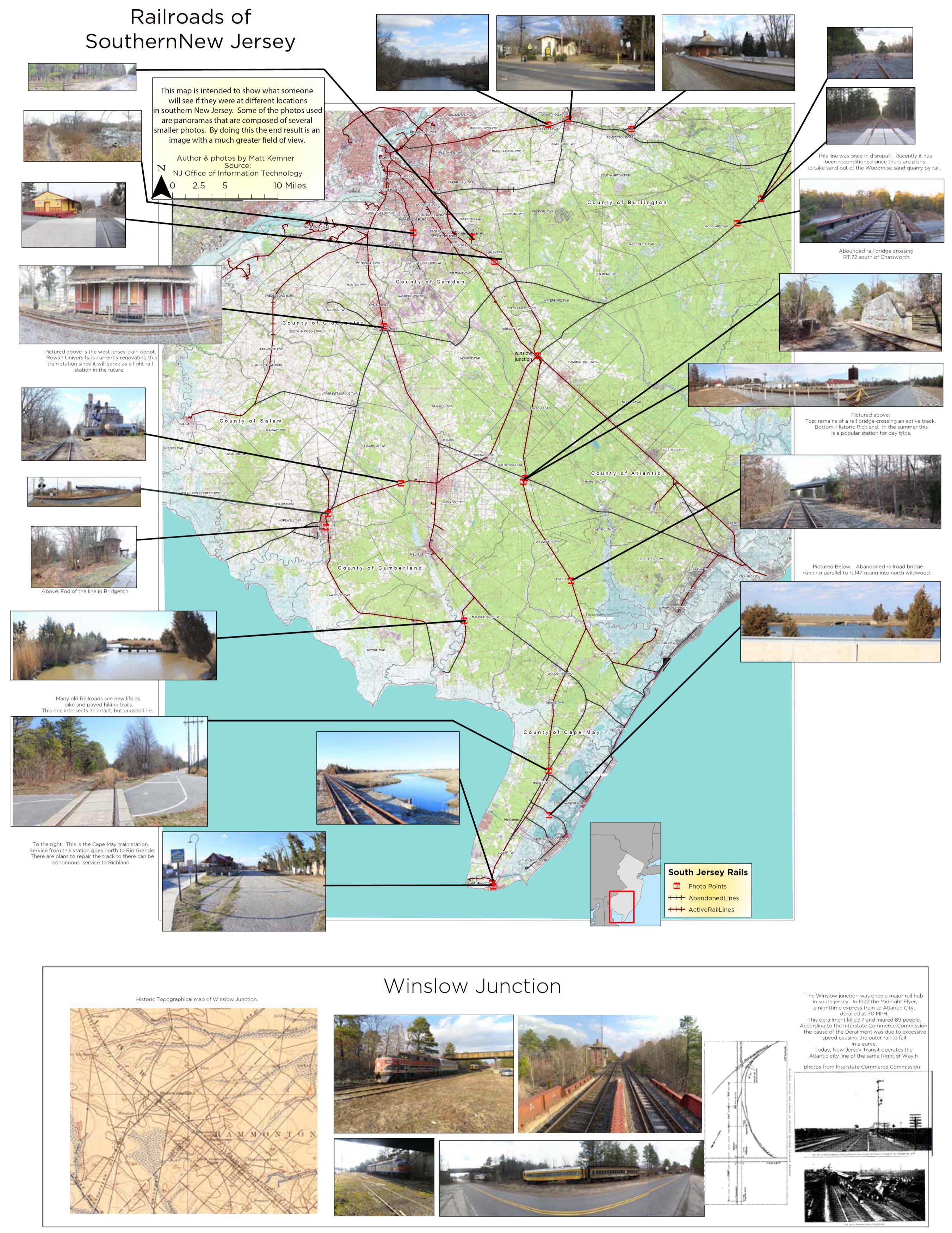
Map Description: |
The intent of this map was to create a unique and fun look at active and abandoned Railroads in Southern NJ. Four days were spent (day light hours) driving around taking panoramas and GPSing, covering a good portion of southern New Jersey. I learned that there were many railroads that were local to where I live. Existing photos that I found were not interesting to look at. Typically you could notice that trees are younger, or ground is level from the rail bed. In the end, I only used cool photos with something rail related in them. |