|
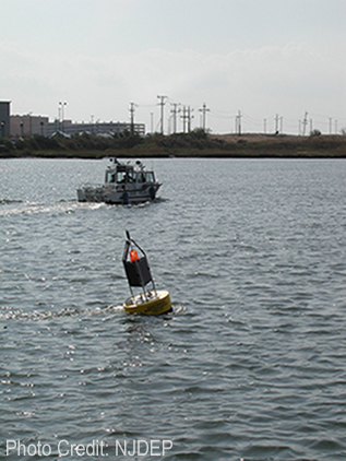
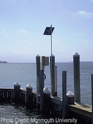
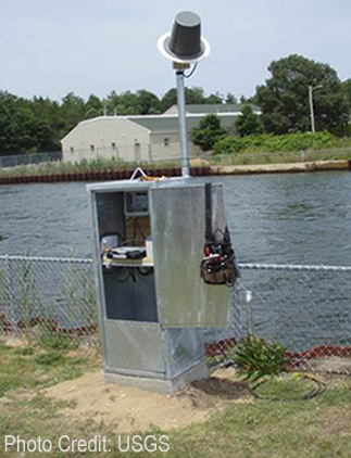
The NJWMC has compiled an inventory of continuous (in-water) monitoring activities, conducted by its member organizations, their cooperators, or other monitoring groups, within NJ and its surrounding waters.
These activities may be either short term (≤1 year) or long term (>1 year) in duration.
The activities are presented in an excel speadsheet which contains information such as monitoring agency, site names, locations (inc. latitude & longitude), duration, parameters measured as well as links, where available, to online data. The spreadsheet is grouped by long term activities first, followed by short term activities.
The maps below show the locations of the continuous monitoring activities. The key(s), which follow each map, correspond to the spreadsheet. Options for viewing the activities are:
Maps
- Short Term Activities Only:
- Long Term Activities Only:
If users are aware of additional monitoring activities that might be appropriate to include in this inventory, or have questions regarding information in the current inventory, please contact Paul Morton or Alena Baldwin-Brown.
|