May 10, 2022
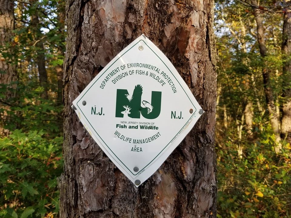
To protect public safety and natural resources, New Jersey DEP Fish and Wildlife will close a total of six small areas within five Wildlife Management Areas in New Jersey. These areas have attracted large crowds and unauthorized activities - including swimming and off-road vehicle use -- creating an unsafe environment. Signs will be posted in the closed areas and New Jersey Conservation Police Officers will be enforcing the closures.
The closures are pursuant to N.J.S.A. 23:7-9 and N.J.A.C. 7:25-2.26 and are effective May 25, 2022, through September 5, 2022.
These areas will reopen on Tuesday, September 6, 2022.
NJDEP Fish and Wildlife regrets having to close these areas and understands the frustration of law-abiding users of the Wildlife Management Area system. Illegal activities at these locations have created unsafe situations for the public, and public safety is the utmost importance to Fish and Wildlife Conservation Police Officers and staff.
CLOSURE AREA DESCRIPTIONS AND MAPS
Cedar Lake WMA (Monroe Twp., Gloucester Co.)
That portion of Cedar Lake WMA commonly referred to as the Sand Plant: All Fish and Wildlife property within the boundary beginning at the intersection of Jackson Rd. and W. Piney Hollow Rd.; north on W. Piney Hollow Rd. to Rt. 322; east on Rt. 322 to Cains Mill Rd.; south on Cains Mill Rd. to Malaga Rd.; south on Malaga Rd. to E. Reading Ave.; south on E. Reading Ave. to Lake Ave.; south on Lake Ave. to Jackson Rd.; west on Jackson Rd. to the starting point at W. Piney Hollow Rd.
Cedar Lake WMA Closure Map (pdf)
Greenwood Forest WMA (Ocean Co., two separate areas)
1. A posted area commonly referred to as Parkers Pit within Greenwood Forest WMA: All Fish and Wildlife property within the area beginning at the intersection of Rt. 539 and Bryant Rd. and following Bryant Rd. to its intersection with Jones Rd.; along Jones Rd. to its intersection with Cooks Rd.; along Cooks Rd. to its intersection with Rt. 539; along Rt. 539 to the starting point at Bryant Rd.
2. A posted area commonly referred to as the Clay Holes within Greenwood Forest WMA: All Fish and Wildlife property within the following roads and boundaries beginning at the intersection of Lauries Rd. and Woodmansie Rd.; travelling southeast on Woodmansie Rd. to intersection of Clay Mine Rd.; North on Clay Mine Rd. to its intersection with Bloody Ridge Rd.; West on Bloody Ridge Rd. to the boundary of Greenwood WMA and Woodland Sand Company; follow boundary of Greenwood WMA and Woodland Sand Company to intersection with Lauries Rd.; follow Lauries Rd. to the starting point at Woodmansie Rd.
Greenwood Forest WMA Closure Map (pdf)
Menantico Ponds WMA (Millville, Cumberland Co.)
All properties owned by Fish and Wildlife identified as the Menantico Ponds WMA and the access road into the area from Route 49.
Menantico Ponds WMA Closure Map (pdf)
Wildcat Ridge WMA (Rockaway Twp., Morris Co.)
A posted area along Splitrock Reservoir (commonly referred to as the cliffs) within the Wildcat Ridge WMA, starting approximately 8/10th of mile north of the western side of the dam at Splitrock Road along an unmarked trail that follows the shoreline terminating ¼ of a mile past the area of the cliffs.
Wildcat Ridge WMA Closure Map (pdf)
Winslow WMA (Winslow, Camden Co.)
That portion of Winslow WMA commonly referred to as Winslow East or the Hot Mix section: All Fish and Wildlife property within the boundary beginning at the intersection of Rt. 322 and Piney Hollow Rd.; north along Piney Hollow Rd. to its intersection with Folsom Rd. (Rt. 73); southeast on Folsom Rd. to its intersection with the Camden-Gloucester County boundary; south along the Camden-Gloucester County boundary to its intersection with Rt. 322; west along Rt. 322 to the starting point at the intersection with Piney Hollow Rd.
Winslow WMA Closure Map (pdf)
Wildlife Management Area System
