navigation bar
DEP Graphic  
Division of Parks and Forestry Graphic
parks home parks home njdep home
Atlantic white-cedar Restoration Methodology - Flagging the Fence Line
forestry home state lands mgt private lands mgt urban and community forestry education seedling nursery forestry health
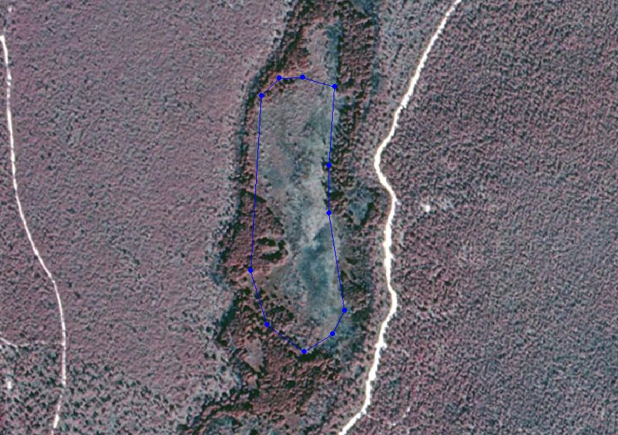
This step in fence line establishment is critical prior to cutting. During this stage the line is laid out to be as straight as possible with a minimal number of corners thereby avoiding unnecessary bends, turns and angle points. This can be performed by following a compass bearing, road edge, abandoned cranberry bog perimeter, or other topographical features. In some cases the flagged perimeter can be located via GPS and plotted over a photograph (see picture - blue line is proposed fence line). The line can then be evaluated in reference to the surrounding vegetation, topography, access and adjusted accordingly if necessary. This is a color infrared photograph. The blue line represents the proposed fence and the blue cirlces represent corner posts.
[ Methodology ] [ AWC Initiative ]

bottom footer

parks and forestry: find a park | forestry | forest fire | natural lands | education | historic sites| historic preservation
department: njdep home | about dep | index by topic | programs/units | dep online
statewide: njhome | citizen | business | government | services A to Z | departments | search

Copyright © State of New Jersey, 1996-2018
Department of Environmental Protection
P. O. Box 402
Trenton, NJ 08625-0402

Last Updated: April 22, 2003

nj home citizen business government services a to z departments dep home contact dep privacy notice legal statement accessibility statement nj home