


News & Public Notices
PUBLIC NOTICE: August 1 HDC Bank Board Meeting Cancelled - (7/22/2024) The Highlands Development Credit (HDC) Bank Board meeting scheduled for Thursday, August 1 has been cancelled. (read)
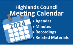
July meeting materials now available - (7/12/2024) An agenda and related materials have been posted for the Highlands Council meeting scheduled for Thursday, July 18, 2024. (read)
PUBLIC NOTICE: Public Comments Sought on Proposed Highlands Redevelopment Area - (7/8/2024) The Highlands Council is currently accepting comments on a proposed Highlands Redevelopment Area Designation located in Lopatcong Township and Pohatcong Township (Warren County). Comments will be accepted through Friday, August 9, 2024. Complete details are available in the public notice. (read)
PUBLIC NOTICE: Committee Meeting Scheduled - (7/8/2024) The RMP Amendment Committee of the New Jersey Highlands Council will be holding a meeting on Monday, July 15, 2024 at 2:30 p.m. at the Highlands Council office in Chester, NJ and via zoom. Complete details are in the public notice. (read)
Help us uncover the authentic NJ Highlands region! - (6/24/2024) The Highlands Council recently announced a branding effort for the New Jersey Highlands region and the project website is now live. Visit the site to learn more about the project, sign up for updates, and find out how you can be a part of the process. (read)
June Meeting Materials Available - (6/20/2024) An agenda and related materials have been posted for the Highlands Council meeting scheduled for Thursday, June 20, 2024. (read)
JOB POSTING: Administrative Assistant - (6/7/2024) The Highlands Council is seeking a full-time Administrative Assistant to provide a wide range of support across all functions within the organization. Applications are being accepted through Friday, July 5. Complete details are available in the job posting. (read)
Highlands Council Issues May Report - (6/7/2024) The Highlands Council has issued a report summarizing Council work in the month of May. (read)
Highlands Council to Lead Branding Effort for the Highlands Region - (6/6/2024) One of the key recommendations to come out of the 2021 New Jersey Highlands Economic Sustainability Plan was the need to develop a Highlands brand that could be used to support region-wide growth across a variety of industries. The Highlands Council recently awarded a contract to national place-branding and marketing firm North Star to develop a unique brand and associated marketing plan for the Highlands region. (read)
Quick Reference
- Calendar: Meeting dates, agendas, and materials
- Highlands Council Monthly Reports
- Plan Conformance Status/Highlands Municipal Pages
- Plan Conformance Status Sheet (pdf)
- 2023 Annual Report (pdf)
- 2022 Highlands Region Land Preservation Status Report (pdf)
- Highlands Region Map and Quick Facts (11x17 ) (pdf)
- Regional Master Plan (pdf)
- Open Public Records Act (OPRA) Request Form
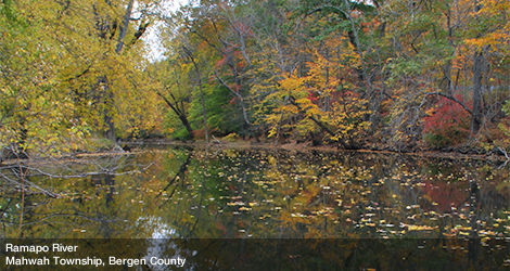
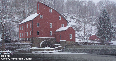
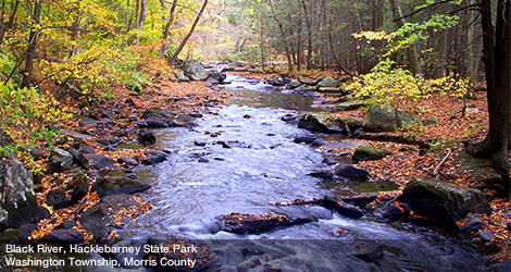
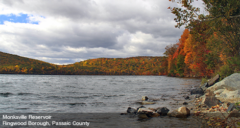
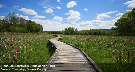
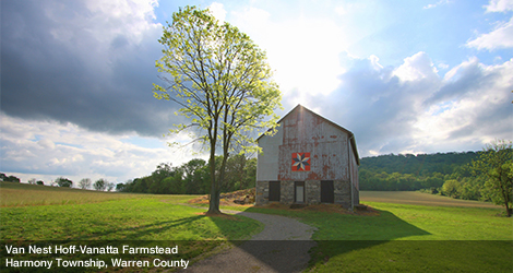
Photography Credit: All photographs on this website are courtesy of the New Jersey Highlands Council staff or Dwight Hiscano with his permission.

