Current Conditions & Values At Risk
Current Conditions
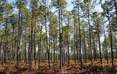
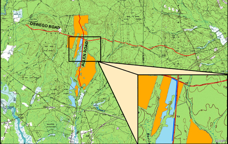
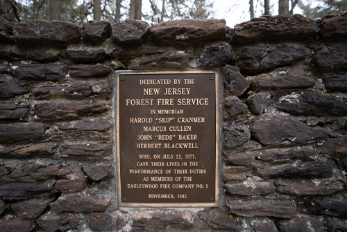
Current conditions along portions of the Allen Road and Oswego Road have regenerated with pitch pine trees at very high densities following the 1977 and 1999 wildfires that occurred in the area. Trees that are not adapted to grow at such densities expend much of their energy competing with neighboring trees for resources like water and sunlight. Due to the lack of resources and room to grow, these trees are not able to overcome this competition, are suppressed and often die as a result.
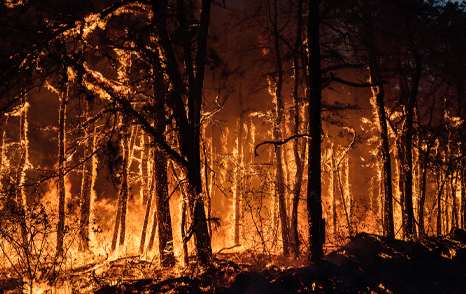
Whether the trees remain alive or not, these small, suppressed trees also act like a fuel ladder that can carry fire from the ground up to the treetops putting the forest at a high risk of a severe wildfire. Such dense and volatile conditions prevent New Jersey Forest Fire Service personnel from conducting prescribed burns that limit the risks of potential wildfires in the area because these conditions are unsafe for these operations. The lack of managed, prescribed burn treatments put the forest and surrounding areas at an even higher risk of severe wildfire. Other risks include that of southern pine beetle, one of the most destructive insect pests of pine trees. Outbreaks occur and flourish in dense forests, much like in the current conditions along Allen and Oswego Roads in Bass River State Forest. Areas with high tree densities have a large number of suppressed and weakened trees due to the competition for resources resulting in the trees in these areas being more susceptible to insect attacks. The higher the number of vulnerable pine trees the higher the number of beetles that will be attracted to the area causing an outbreak, and ultimately contributing to additional carbon loss.
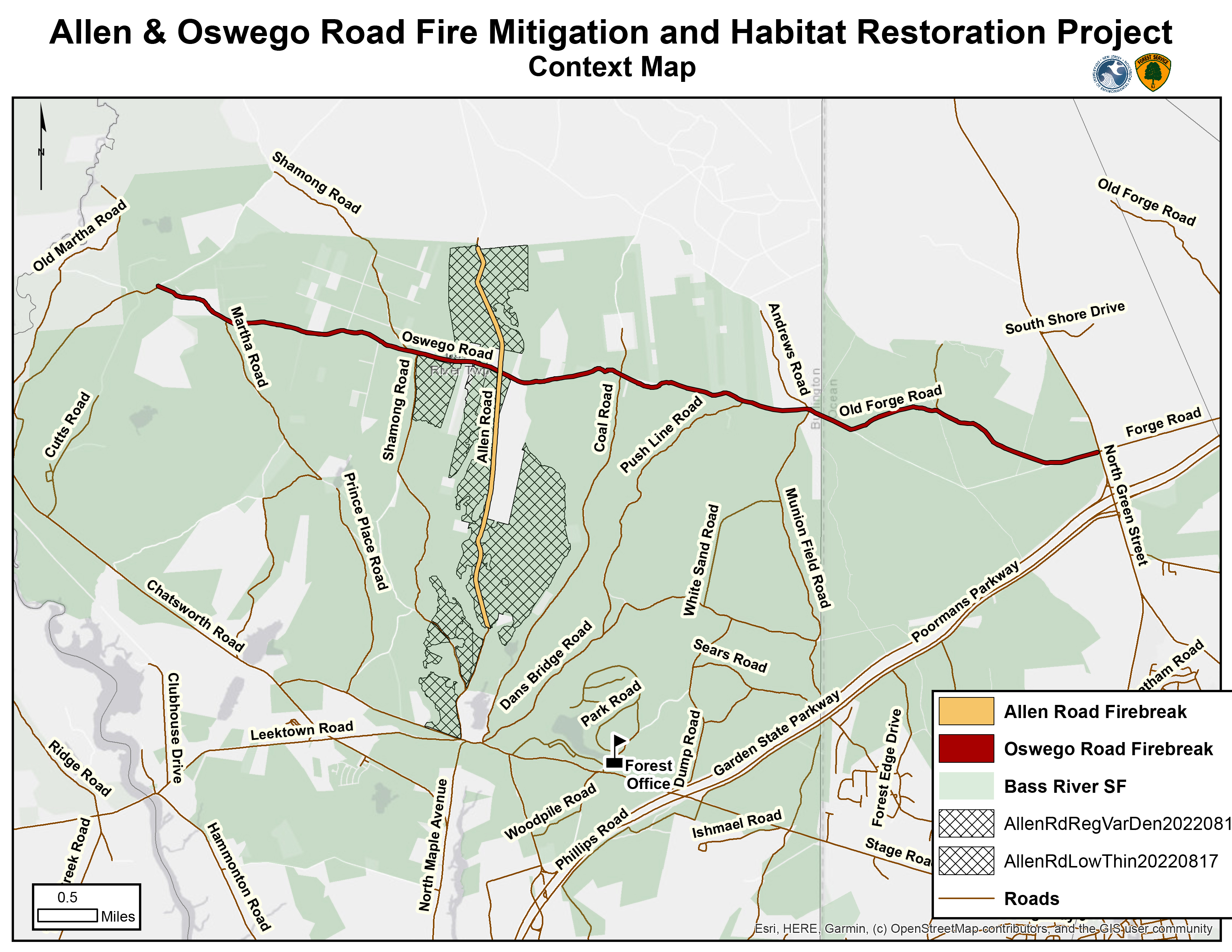
The New Jersey Forest Fire Service practices early detection and rapid response through a network of staffed fire towers and strategically positioned firefighting resources. If smoke is observed, Forest Fire Service personnel are deployed to investigate the cause of the smoke. However, current road conditions along Allen and Oswego Roads impede the rapid response time of on-the-ground personnel and resources.
Values at Risk: Life & Property
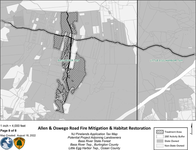
The values around Bass River State Forest – including homes, buildings, campgrounds, schools, infrastructure and businesses – are known as the wildland urban interface which are at risk of damage or destruction from a wildfire. To the east of the project area are the Garden State Parkway, Pinelands Regional High School, Bass River State Forest’s swimming area and campground, privately owned campgrounds and the Nugentown section of Little Egg Harbor Township. To the north and west of the project area are large scale cranberry farms, the Warren Grove Air to Ground Range and the Jenkins section of Washington Township. To the south, is the New Gretna section of Bass River Township.
Values at Risk: Natural Resources
Natural resources at risk include Atlantic white cedar restoration sites from the early 2000s and historic Atlantic white cedar populated wetlands that store significant amounts of carbon. These rich carbon stores could be released into the atmosphere if a wildfire impacts the cedar stand.
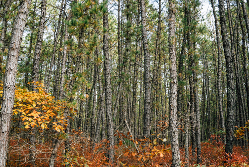
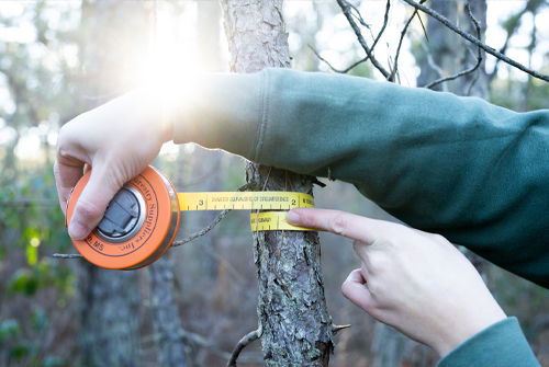
Current extreme density of trees seen off Allen Road.
 Official Site of The State of New Jersey


