|
|
New Jersey Coastal Atlas
Interactive Mapping and Planning Tools |
| |
| Coastal Hazards |
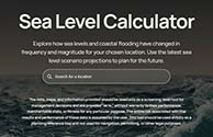 |
NOAA Sea Level Calculator : Explore how sea levels and coastal flooding have changed in frequency and magnitude for your chosen location. Use the latest sea level scenario projections to plan for the future. |
|
|
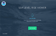 |
NOAA Sea Level Rise Viewer – Web map shows sea level rise and potential coastal flooding impact areas including impacts to vulnerable populations, marsh systems and other coastal land cover types. |
|
|
 |
|
|
 |
Rutgers New NJFloodMapper Viewer A redesigned visualization tool for local communities who need to make decisions concerning flooding hazards and sea level rise.
For more information, visit the Rutgers NJADAPT site at www.njadapt.org |
|
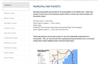 |
Rutgers Municipal Flooding Hazard Map Products - municipal map packets are provided for all municipalities in the CAFRA zone. These map packets include maps of coastal hazards, overlaid with critical facilities and evacuation routes |
|
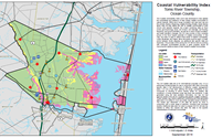 |
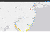
Coastal Vulnerability Index Mapping - The NJCMP developed CVI mapping for the entire coastal area in New Jersey covering 239 municipalities over four sea level rise scenarios – present day (2014), 2030, 2050, and 2100. Additionally, a CVI-based map was created for each NJ coastal community.” |
|
|