 Official Site of The State of New Jersey
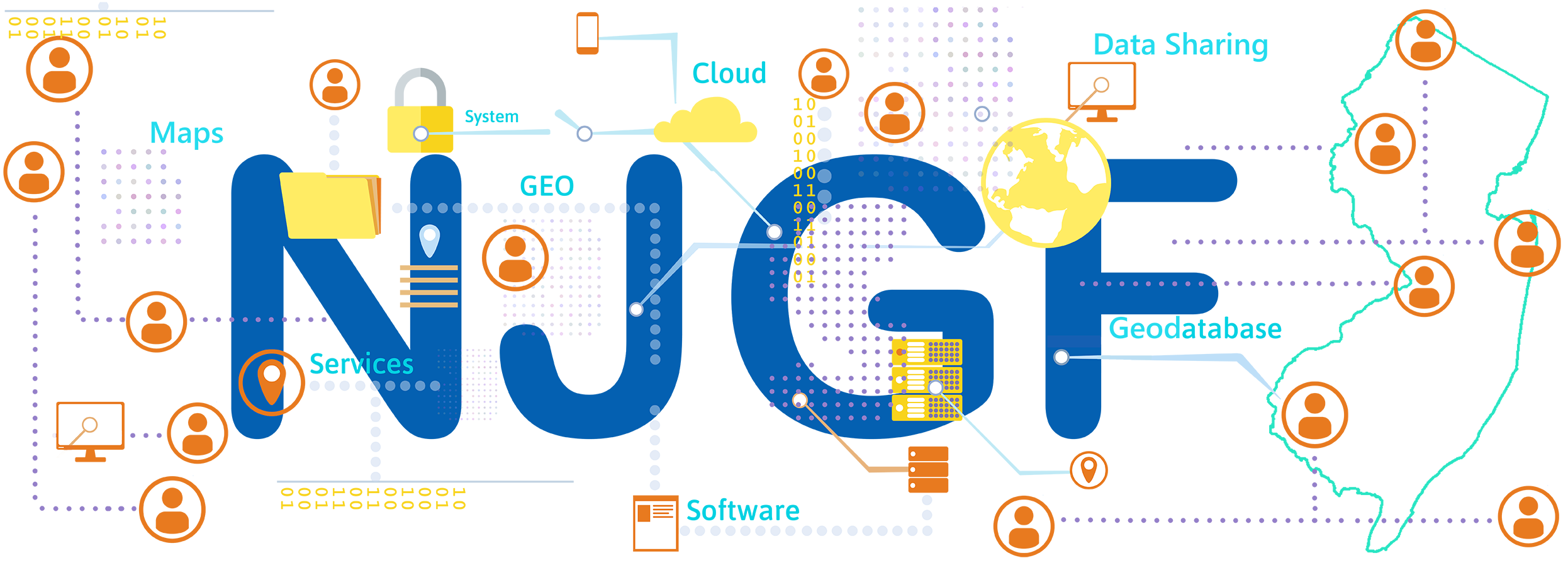
NJ Geospatial Forum
Community
Participation
News
Call for Lightning Talks! Next NJGF General Meeting on Thursday, June 4, 2026
03/13/2026
Would you like to share an interesting project, application, or other use of geospatial technology? Deliver a brief ~6 minute presentation on your latest geospatial endeavors at the next NJGF General Meeting scheduled on Thursday, June 4, 2026 at Rowan University in Glassboro, NJ. Additional details and instructions for submissions can be found at the link below.
Thursday, March 5, 2026 NJGF General Meeting Video Recording Available
03/09/2026
View on the NJOGIS YouTube channel.
NJGF General Meeting on Thursday, March 5, 2026
02/23/2026
The next NJ Geospatial Forum General Meeting will be on Thursday, March 5, 2026 at 10am, in-person at the NJ Office of Technology ITC Room (directions), as well as hosted virtually on Microsoft Teams. Eliza Gross from USGS and Drew Meren from NV5 Geospatial will present updates and information on NJ's elevation, hydrography, and orthoimagery projects. View the agenda and register online to attend.
Thursday, December 4, 2025 NJGF General Meeting Video Recording Available
12/04/2025
View on the NJOGIS YouTube channel.
NJGF General Meeting on Thursday, December 4, 2025
11/10/2025
The next NJ Geospatial Forum General Meeting will be on Thursday, December 4, 2025 at 10am, in-person at the NJ Office of Technology ITC Room (directions), as well as hosted virtually on Microsoft Teams. Dominador Elefante from Passaic Valley Sewerage Commission (PVSC) will present how PVSC’s Enterprise GIS evolved into a smart utility—integrating automation, AI, and precision mapping from the Great Falls to Robin’s Reef. View the agenda and register online to attend.