 Official Site of The State of New Jersey

About NJGF
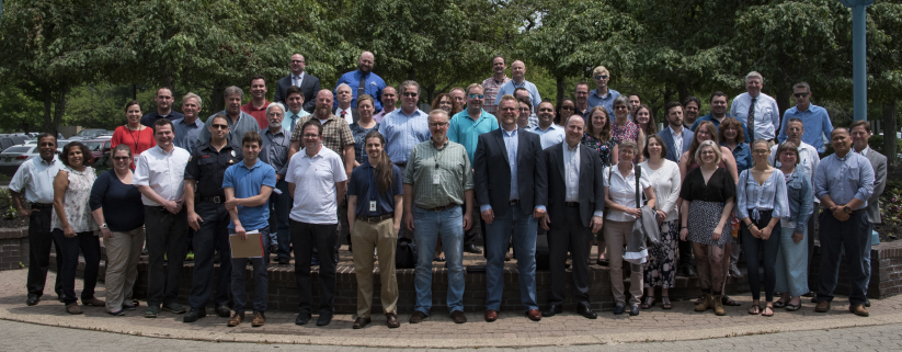
The New Jersey Geospatial Forum (NJGF) exists to:
- Stimulate and encourage the advancement of a collaborative, interdisciplinary approach to the planning, design, operation, and use of Geographic Information Systems (GIS) and related technologies that support public and private information providers, stewards, and users in New Jersey.
- Provide a welcoming forum for communication and coordination across organizations, promoting collaboration and helping the Community make the most of limited resources.
- Offer a structured environment for volunteers to work together on shared objectives, including active problem solving through Task Forces.
- Support professional and educational growth by creating opportunities to exchange knowledge and experience.
- Provide a pathway for members to discuss, review, and reach consensus on GIS policies and standards relevant to New Jersey’s spatial data infrastructure.
General meetings are held at least three times a year and are open to the public.
Membership in the NJGF is open to anyone who shares a common interest in geospatial technologies. The diversity in the makeup of the NJGF helps each sector to understand and visualize all the different uses of geospatial information throughout New Jersey. The NJGF is a group supported in full by volunteers. It is important for people to get involved, share their information and ideas, voice their concerns, and work together to benefit everyone involved.
The Executive Committee serves as the leadership body of NJGF. It is made up of at least five members, with the NJ Geographic Information Officer holding a permanent seat. Visit About Executive Committee for more information.
Contact the NJGF Administration Team with questions.