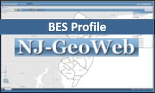
NJ GeoWeb
The New Jersey Department of Environmental Protection recently developed the next generation of the NJ-GeoWeb on the ArcGIS Online Platform. This application provides users access to NJDEP GIS data in an interaction web-browser application. Users can view, query and analyze the Department's GIS data with related environmental information. One major enhancement of this tool is the ability for the user to upload shapefiles from a local drive as well as from other sources for viewing within the application. For more information, view the NJ GeoWeb Quick Start Guide.