Official Site of The State of New Jersey
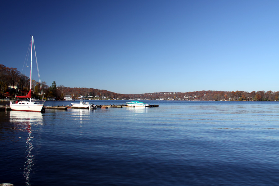
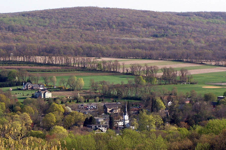
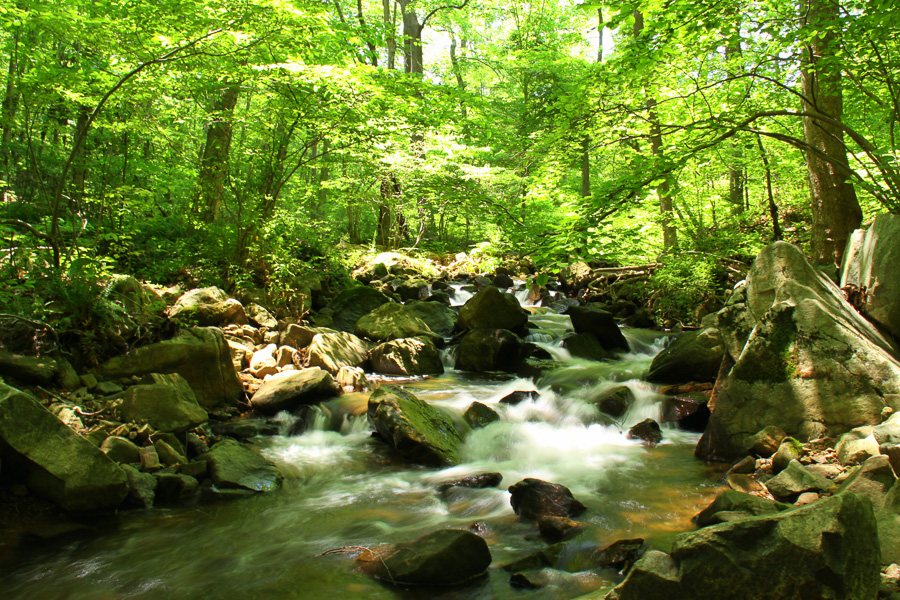
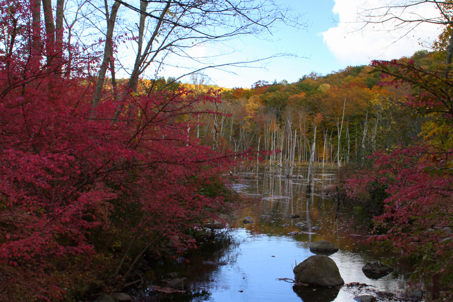
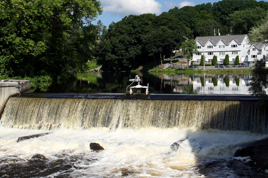
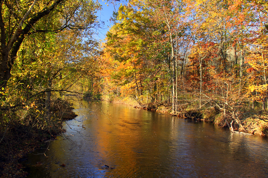
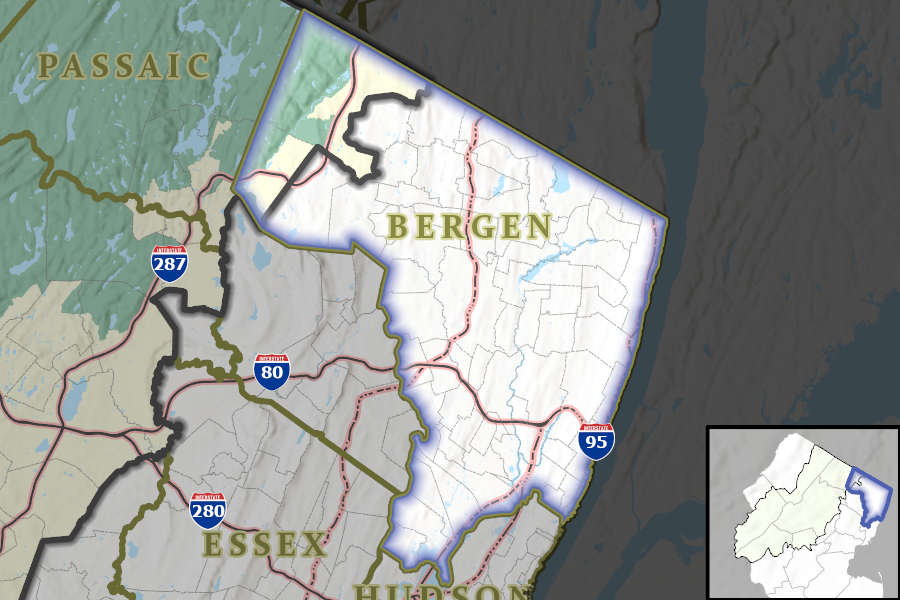
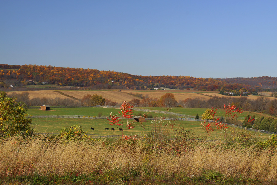
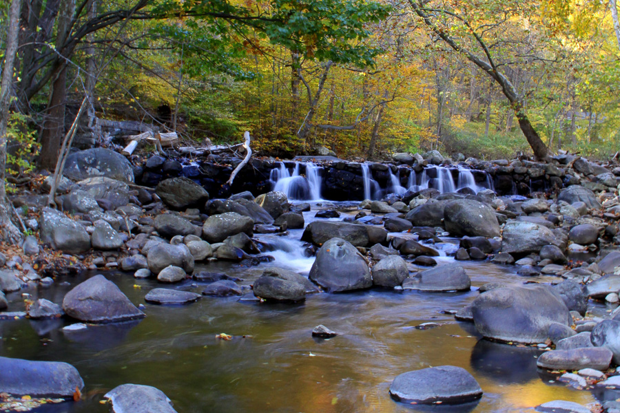
The New Jersey Highlands
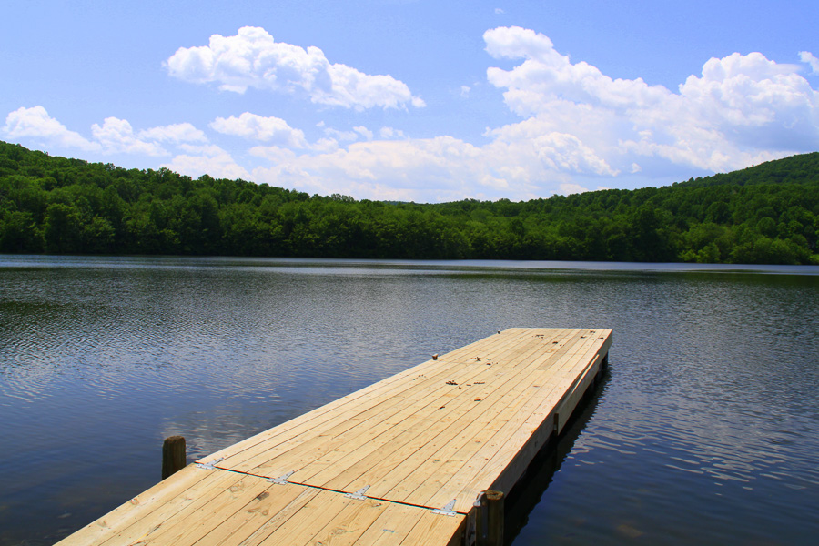
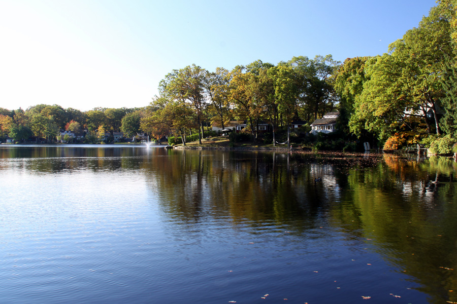
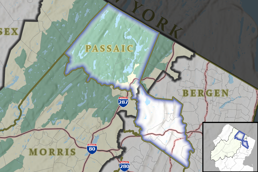
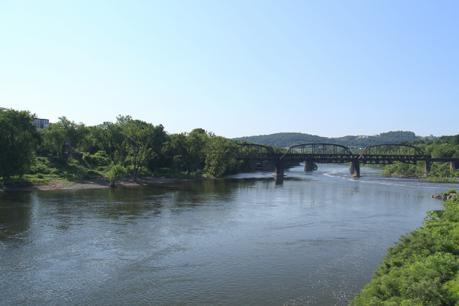
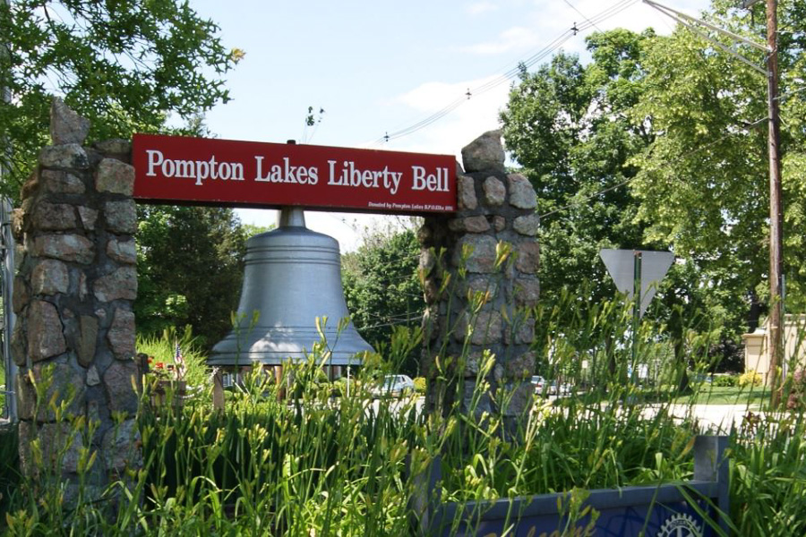
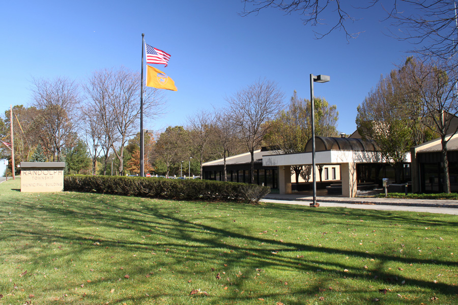
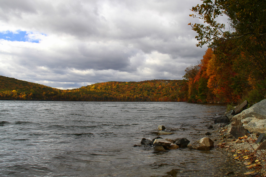
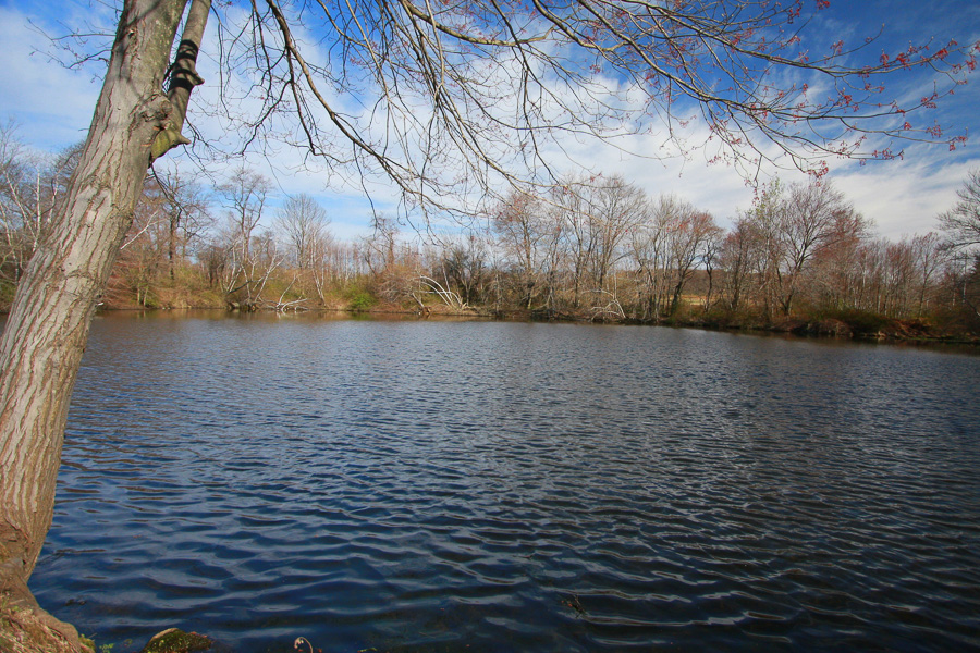
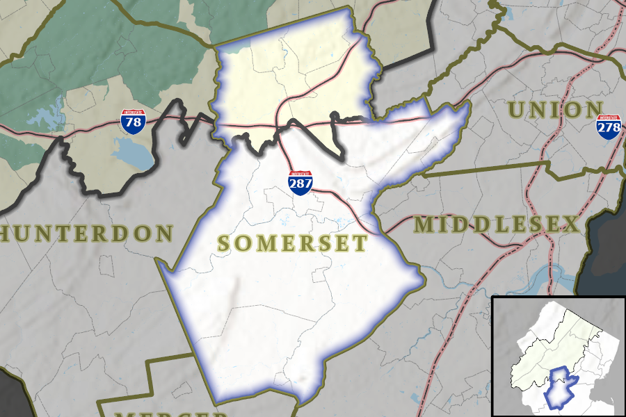
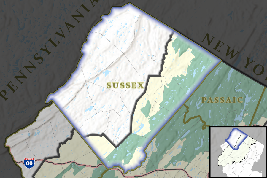
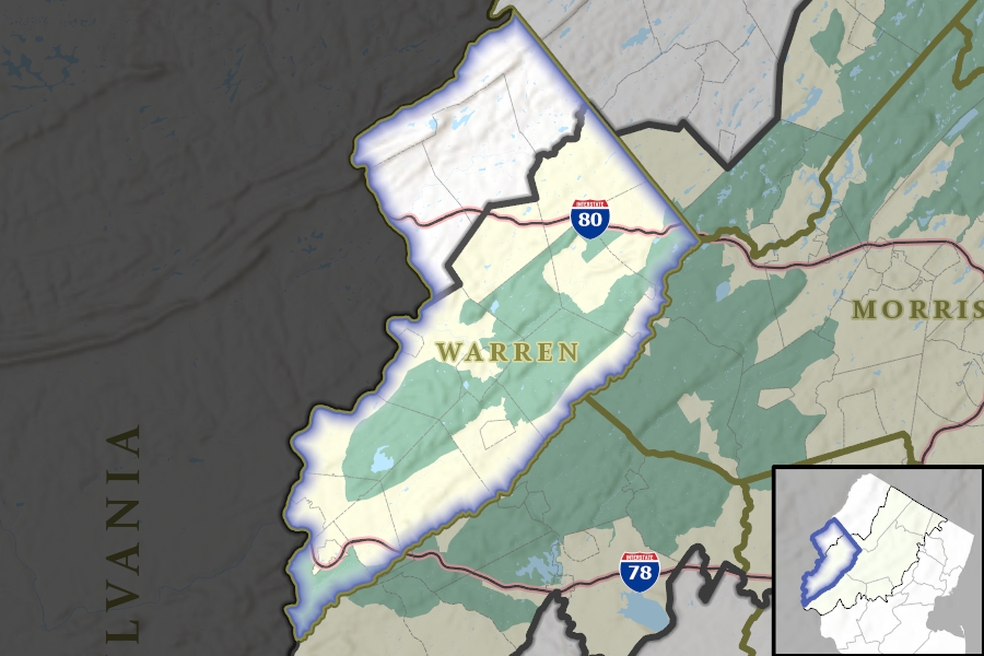
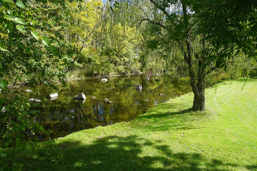
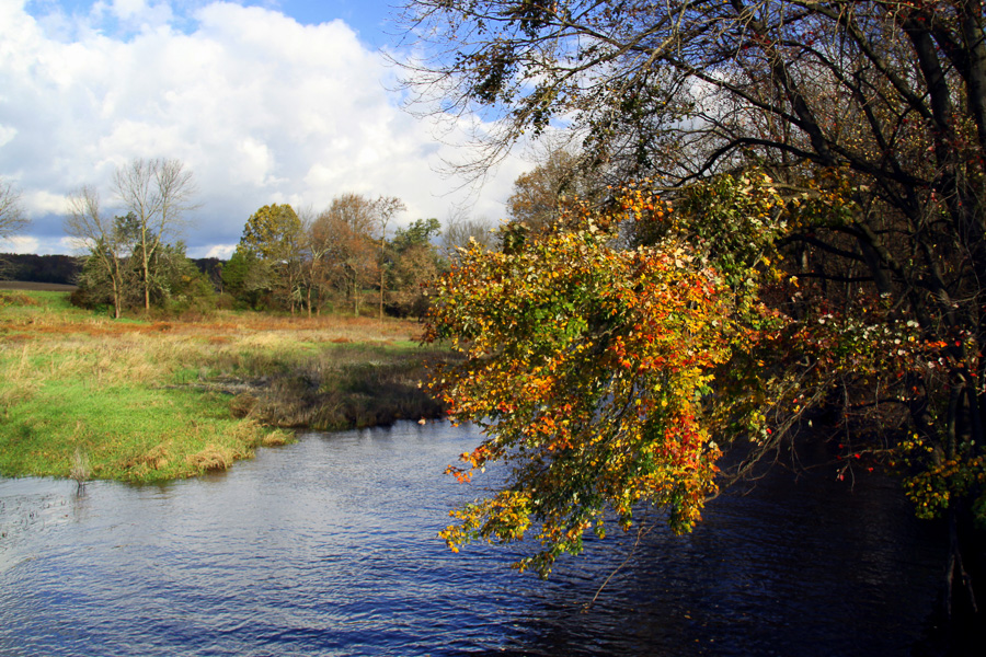
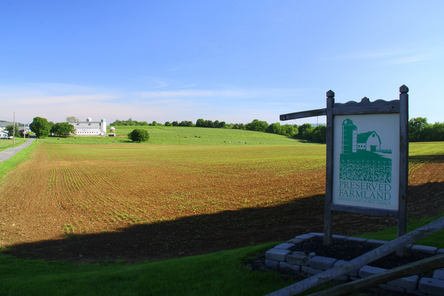
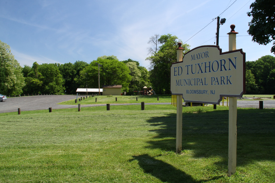
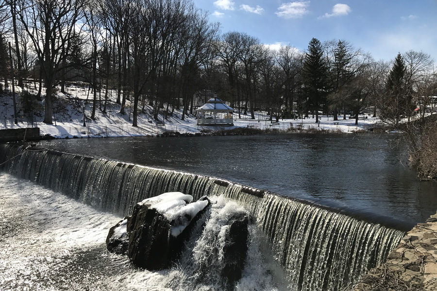
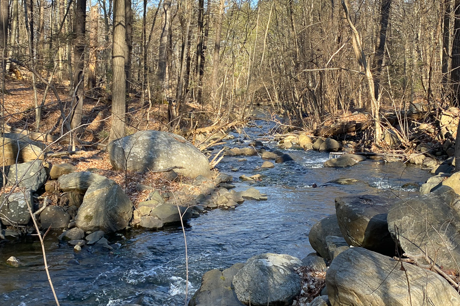
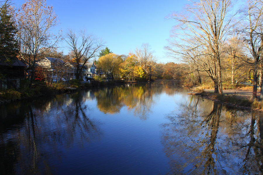
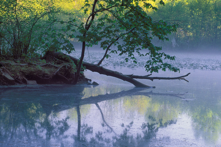
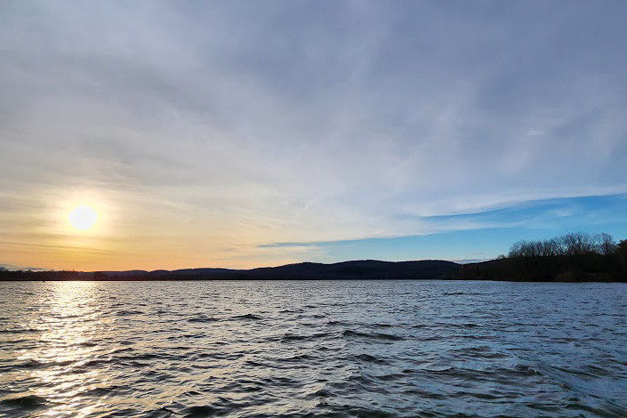
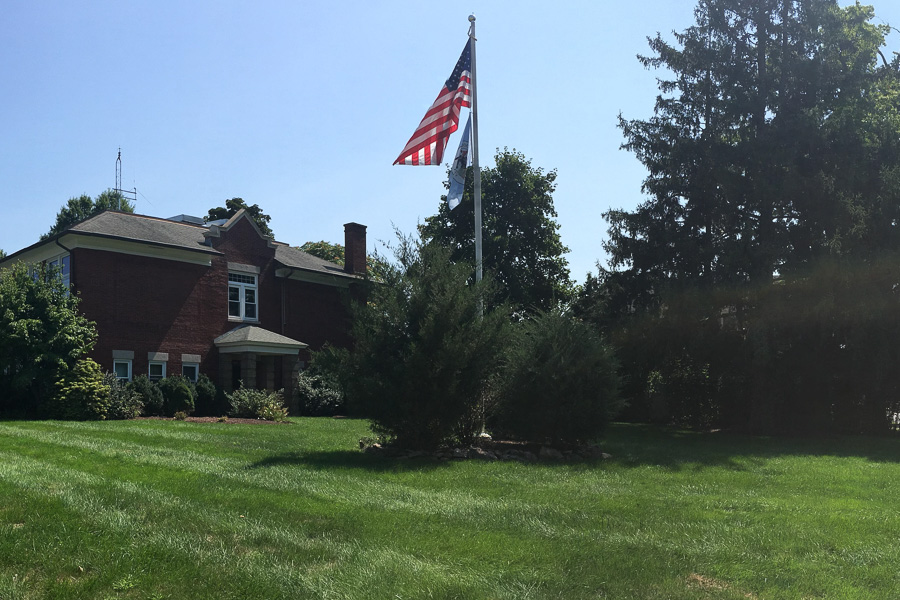
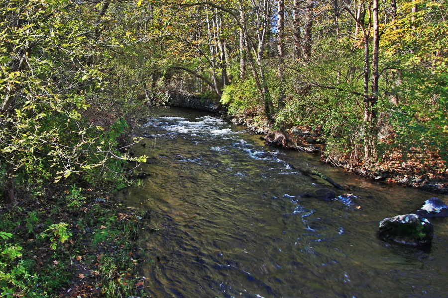
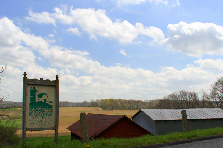
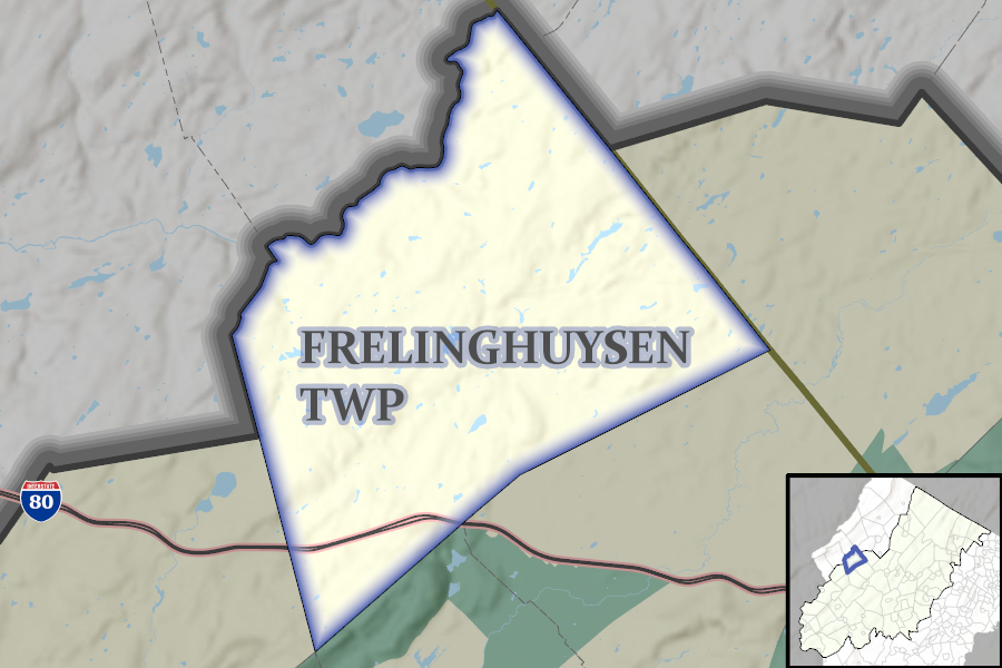
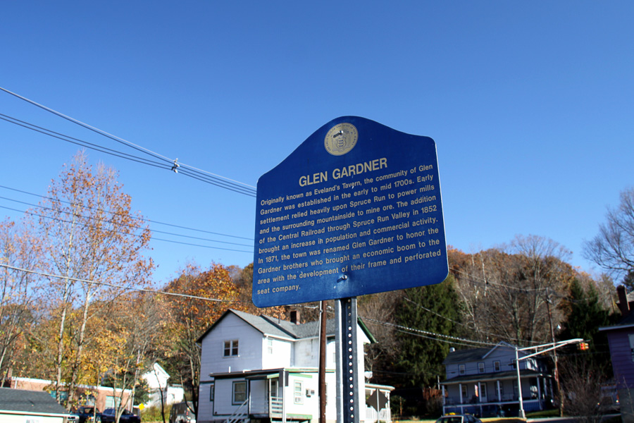
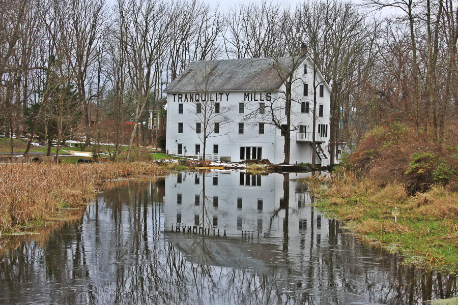
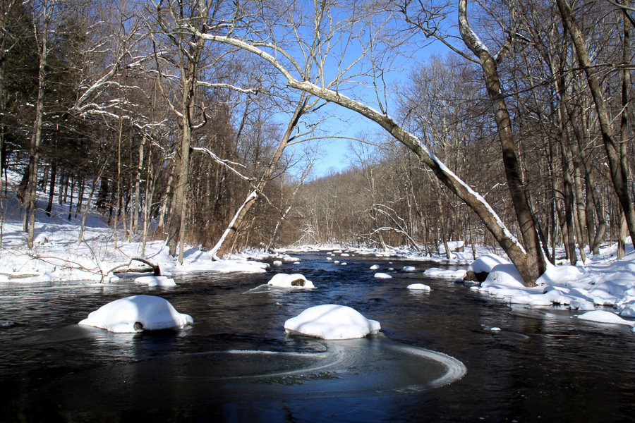
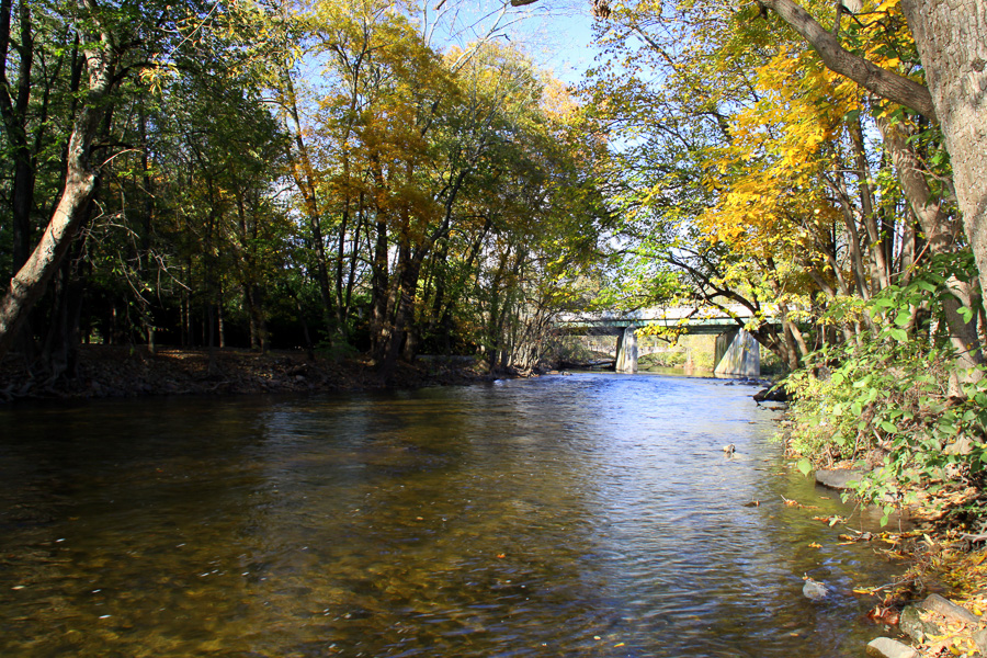
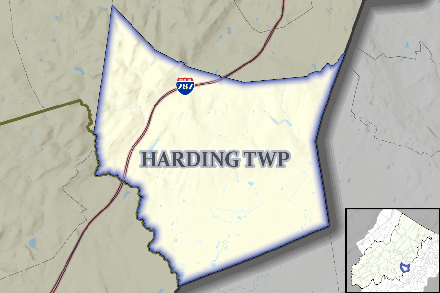
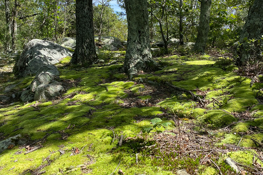
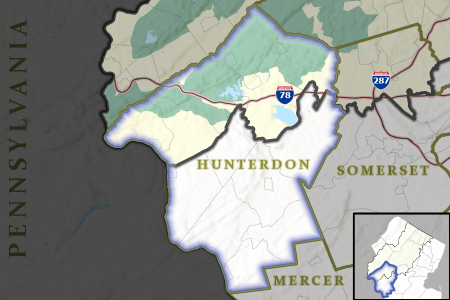
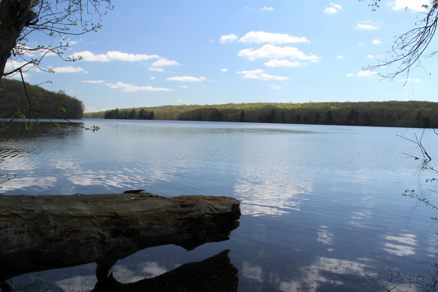
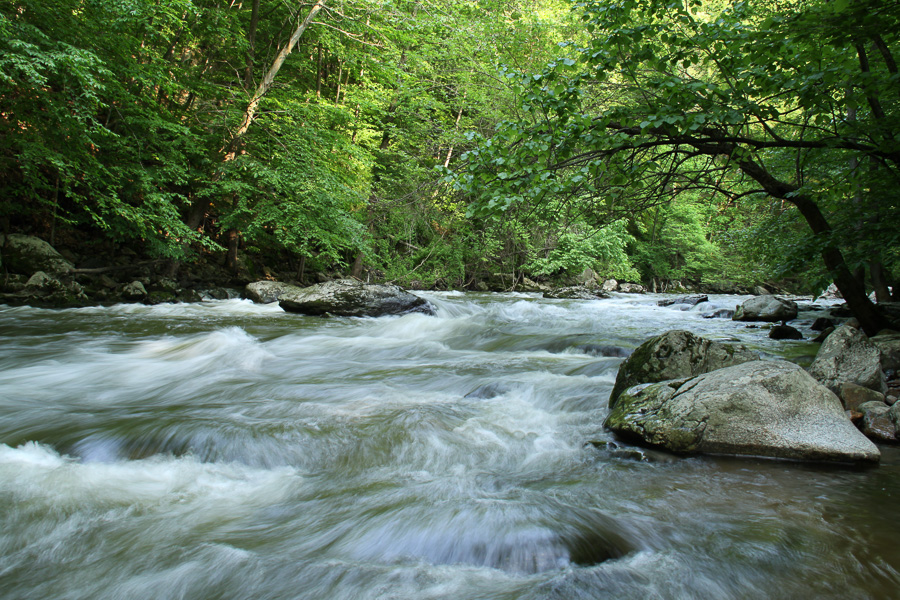
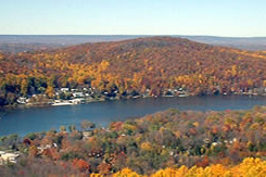
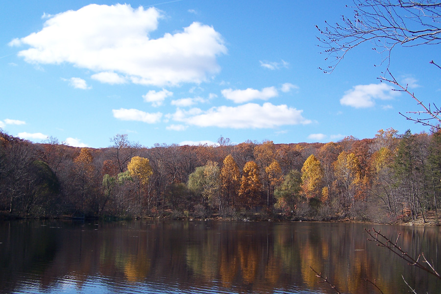
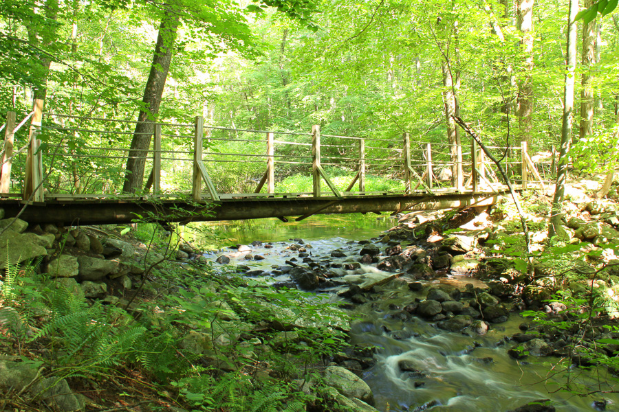
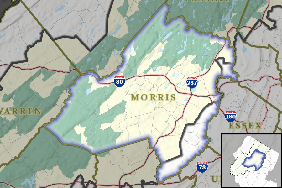
The New Jersey Highlands region is a scenic and diverse area, encompassing 88 municipalities in parts of seven counties in northern New Jersey. More than 70% of New Jersey residents get some or all of their drinking water from the Highlands, including 8 out of every 10 people living in a designated Overburdened Community. For this reason, the region is protected by law. The 2004 New Jersey Highlands Water Protection and Planning Act safeguards the New Jersey Highlands from excessive development and environmental degradation. The New Jersey Highlands Council is the state agency responsible for overseeing implementation of the Act. The agency is staffed by a team of professional planners, environmental scientists, and GIS experts. Use the map to explore the region.
Spotlight

HDC Bank Meeting Cancellation
The HDC Bank Meeting scheduled for Thursday, August 6, 2026 has been cancelled.

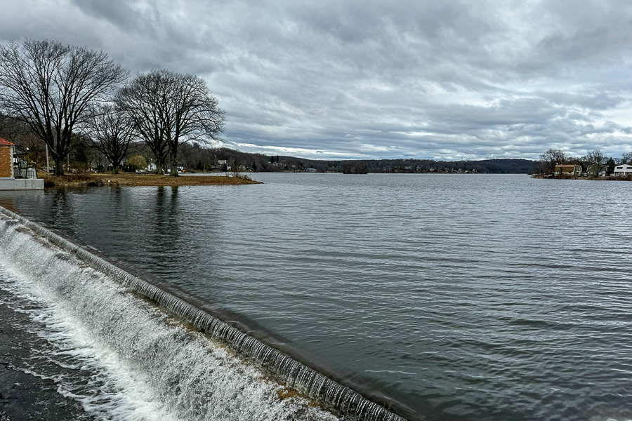
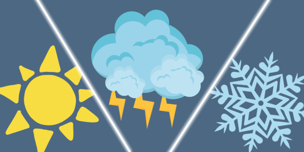
Drought Conditions 7/23/26
The entire Highlands region continues to be abnormally dry or in moderate drought.

Job Opening
The Highlands Council has an opening for a part-time Communications Assistant. The application deadline is Thursday, August 6, 2026.
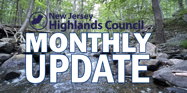
June Update
Find out what's been happening at the Highlands Council.
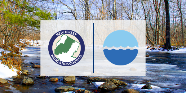
Protecting Critical Water Resources in the Highlands
View recording of "Watershed Tools for Local Leaders" webinar hosted by Raritan Headwaters Association and featuring Highlands Council Executive Director Ben Spinelli.
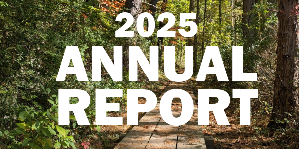
Now Available
A recap of the Highlands Council's work in 2025.

Highlands Council Launches Regional Tourism Website
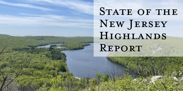
State of the New Jersey Highlands Report
Prepared in January 2026 primarily for the benefit of the incoming administration as critical policy and priority decisions are being made.
Seven New Members for the Highlands Council

Stay in-the-know!

2026 Public Meetings


-sm.jpg)
-sm.jpg)


-sm.jpg)


1-sm.jpg)


-sm.jpg)
-sm.jpg)